Tutorial

AQA GCSE Geography: Geographical Skills - Master Cartographic Skills

Learn to interpret, analyse, and use a range of maps at different scales, including Ordnance Survey maps. This deck covers grid references, scale, distance, direction, contour lines, and identifying physical and human features.
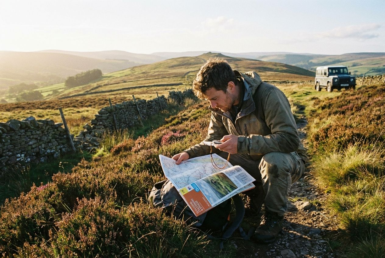
A wide-angle photograph of a person, seen from a mid-distance, intently studying an open Ordnance Survey map and holding a compass, on a scenic hiking trail in the rolling hills of the British countryside. The sun is shining, casting natural light on the scene, emphasizing the detailed map and the expansive, subtly contoured landscape in the background, composed for a 3:2 landscape frame.

Management & Tools

Deck Contents

30 Cards
Lesson#1
Welcome to this deck on cartographic skills. These are the skills you need to read and understand maps, which is a fundamental part of being a geographer. For your GCSE Geography exam, you'll be expected to use Ordnance Survey maps to identify locations, measure distances, and interpret the landscape. We'll cover everything from grid references to contour lines to ensure you're confident with any map you see in the exam.
Lesson#2
Ordnance Survey maps are covered by a series of blue lines called the National Grid. These lines allow you to pinpoint any location using a grid reference. The vertical lines are called Eastings, as their value increases as you move East. The horizontal lines are called Northings, as their value increases as you move North. To remember the order, use the phrase 'along the corridor, then up the stairs'. You always give the Easting value first.
Quiz#3
When giving a grid reference on an OS map, which value, the Easting or the Northing, do you state first?

Easting

Lesson#4
The simplest way to locate something is with a four-figure grid reference. This identifies a one-kilometre square on the map. To find it, you look for the Easting line to the immediate left of the square, and the Northing line immediately below the square. This gives you a reference like '34 56'.
Quiz#5
What type of grid reference is used to identify a specific one-kilometre square on an OS map?

Four-figure

Lesson#6
To be more precise, we use six-figure grid references. This pinpoints a location to within a 100-metre square. First, find the four-figure reference for the larger square. Then, imagine that square is divided into a smaller 10 by 10 grid. You estimate how many tenths you need to go across for the third Easting digit, and how many tenths you need to go up for the third Northing digit.

Login to View Content

Create a free account or log in to see all 30 cards and start studying this deck.

Learn AQA GCSE Geography: Geographical Skills - Master Cartographic Skills differently

Auracle is an audio-first learning platform built for busy people. Memorize anything without looking at a screen.

Hands-Free Learning

Listen, interact, and review cards entirely through audio. Perfect for commuting, walking, or at the gym.

Spaced Repetition

Auracle uses a scientific algorithm to schedule your reviews at the optimal time, ensuring you never forget what you learn.

Learn how it works

Ready to start the AQA GCSE Geography: Geographical Skills - Master Cartographic Skills audio deck?