Tutorial

AQA GCSE Geography: Paper 3 - The Geographical Enquiry Process

Learn the theoretical stages of a geographical enquiry, which forms the basis of your two compulsory fieldwork investigations. This deck covers formulating questions, data collection methods, data presentation, analysis, and conclusion.
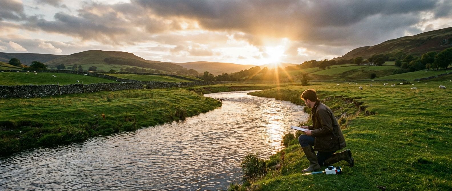
A dramatic wide-angle photograph of a winding river flowing through a lush, green valley in the British countryside. Golden hour sunlight streams through scattered clouds, illuminating the scene. In the mid-ground, a lone figure, appearing to be a student or geographer, stands by the riverbank, holding a clipboard and intently observing the water flow or taking a measurement, conveying a sense of focused enquiry and exploration.

Management & Tools

Deck Contents

25 Cards
Lesson#1
Welcome to this deck on the geographical enquiry process. This is a crucial part of your GCSE Geography, as it forms the basis for Paper 3 and your two compulsory fieldwork investigations. We'll break down the entire process, from coming up with a question, to collecting and presenting your data, all the way to drawing a conclusion. Mastering these stages will not only prepare you for your fieldwork but also give you the skills to think like a real geographer.
Lesson#2
Think of a geographical enquiry as being a detective. You start with a mystery or a question, like 'Why does the river change shape downstream?' or 'How does tourism affect this town?'. You then gather clues, which is your data. You analyse these clues to find patterns, and finally, you present your solution, which is your conclusion. This whole process follows a clear sequence of stages, ensuring your investigation is logical and well-organised.
Lesson#3
The very first stage of any geographical enquiry is to decide what you want to investigate. You need to formulate a clear aim or a specific question. Often, geographers turn this question into a hypothesis. A hypothesis is a clear, testable statement that you will try to prove or disprove with your data. For example, a good hypothesis would be 'The velocity of the River Tillingbourne increases with distance from the source.' It's a prediction you can actually go out and test.
Quiz#4
In a geographical enquiry, what is the name for a clear, testable statement that you aim to prove or disprove?

hypothesis

Lesson#5
Once you have your hypothesis, you need to collect data to test it. This is the core of your fieldwork. There are two fundamental types of data you can use: primary and secondary. Getting this distinction right is essential for planning your investigation and for answering exam questions correctly.
Lesson#6
Primary data is information you collect yourself, firsthand. It's brand new data, gathered for your specific enquiry. Examples include measuring the depth of a river, counting the number of pedestrians on a street, or asking people to fill in a questionnaire you designed. The big advantage is that it's tailored exactly to your investigation, but the downside is that collecting it can be very time-consuming.

Login to View Content

Create a free account or log in to see all 25 cards and start studying this deck.

Learn AQA GCSE Geography: Paper 3 - The Geographical Enquiry Process differently

Auracle is an audio-first learning platform built for busy people. Memorize anything without looking at a screen.

Hands-Free Learning

Listen, interact, and review cards entirely through audio. Perfect for commuting, walking, or at the gym.

Spaced Repetition

Auracle uses a scientific algorithm to schedule your reviews at the optimal time, ensuring you never forget what you learn.

Learn how it works

Ready to start the AQA GCSE Geography: Paper 3 - The Geographical Enquiry Process audio deck?